

Back to the Catskills
Today we drove past hundreds of abandoned resorts in various states of disrepair.
I’ve left the photos I took in (very) large format. You can examine the image above and some others
in great detail by clicking on them. A new tab will open, so you won’t lose your place here.
This was to be our weekend of leisure: sleeping late, french toast for breakfast, lying in bed watching movies, naps, reading, more of same. So naturally, as soon as Heather awoke this morning, she was after me to pull on my shoes on so we could leave for the Catskills.
A couple of weeks ago we visited Woodstock. We told one another we would be returning one day; we just didn’t realize it would be so soon.
Our intention was to follow a route Heather found on a real estate website (we selected tour no. 2, here).

Of course, we improvised.
That is to say, we too a wrong turn.
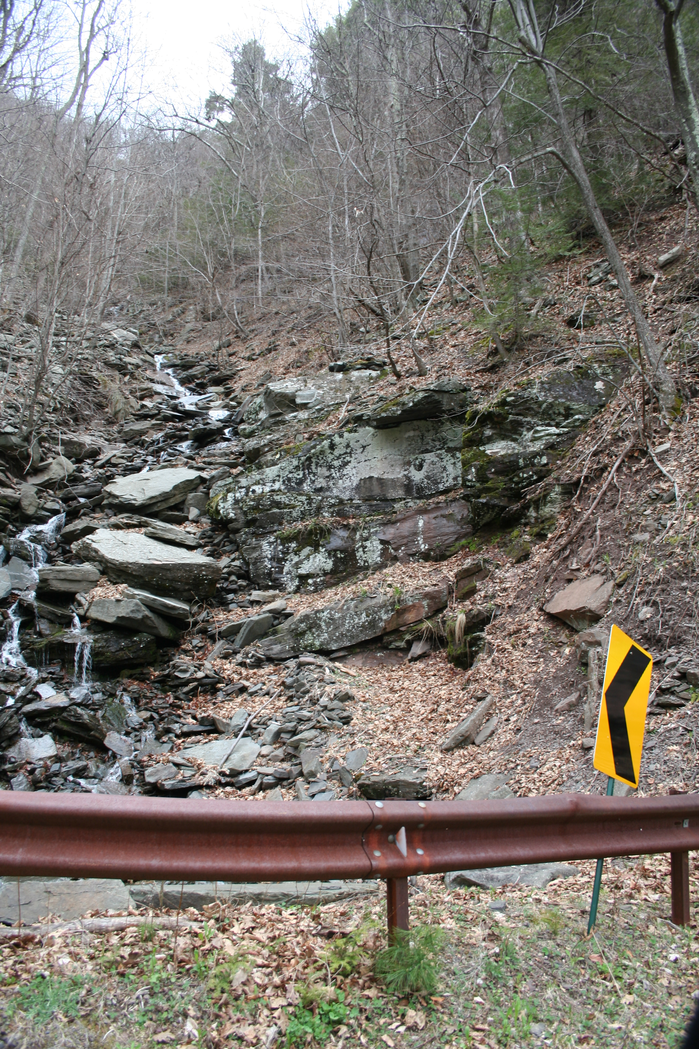
We found ourselves on Ulster/Greene County Route #16, which is known as Platte Clove Mountain Road.
Platte Clove is one of two breaks in the Catskill Escarpment; Kaaterskill Clove is the other. Both were popular subjects for painters of the Hudson River School. Here’s Asher Durand’s Kindred Spirits, featuring Kaaterskill Clove.

Asher Durand, Kindred Spirits, 1838
The Catskills remain popular with painters. Here’s a work by contemporary artist Jamie Williams Grossman. You can purchase the print below and many others for quite reasonable prices from her blog.

Jamie WIlliams Grossman, Red Barn Off Platte Clove Road No. 3, 2008
Platt Clove Mountain Road was but newly re-opened.

Did I mention the road was scary?

The road was scary.
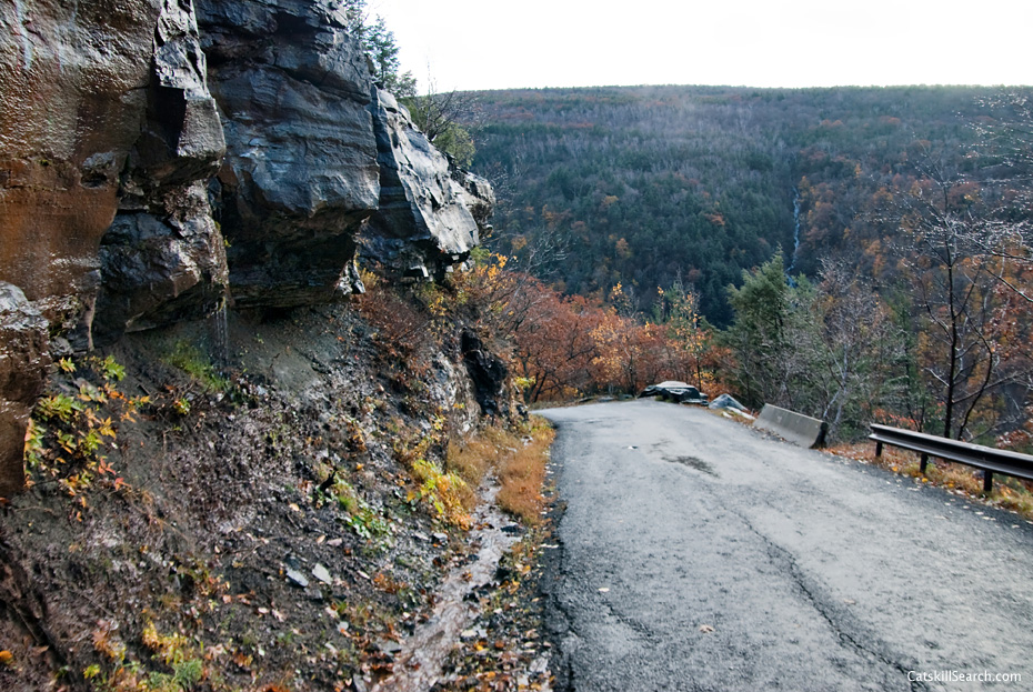
Cliffs were to our right and to our left on the narrow road. According to Wikipedia, people have fallen to their deaths. People like this Darwin Award candidate:
The road climbs 1200 feet in just 1.4 miles. How steep is that? Well, when the Tour de Trump bicycle race “was routed through here, the road proved so steep that even some of the top bicyclists in the world had to get off and walk their bikes…” (Wikipedia, Platte Clove)
When we take a wrong turn, we take a doozie!
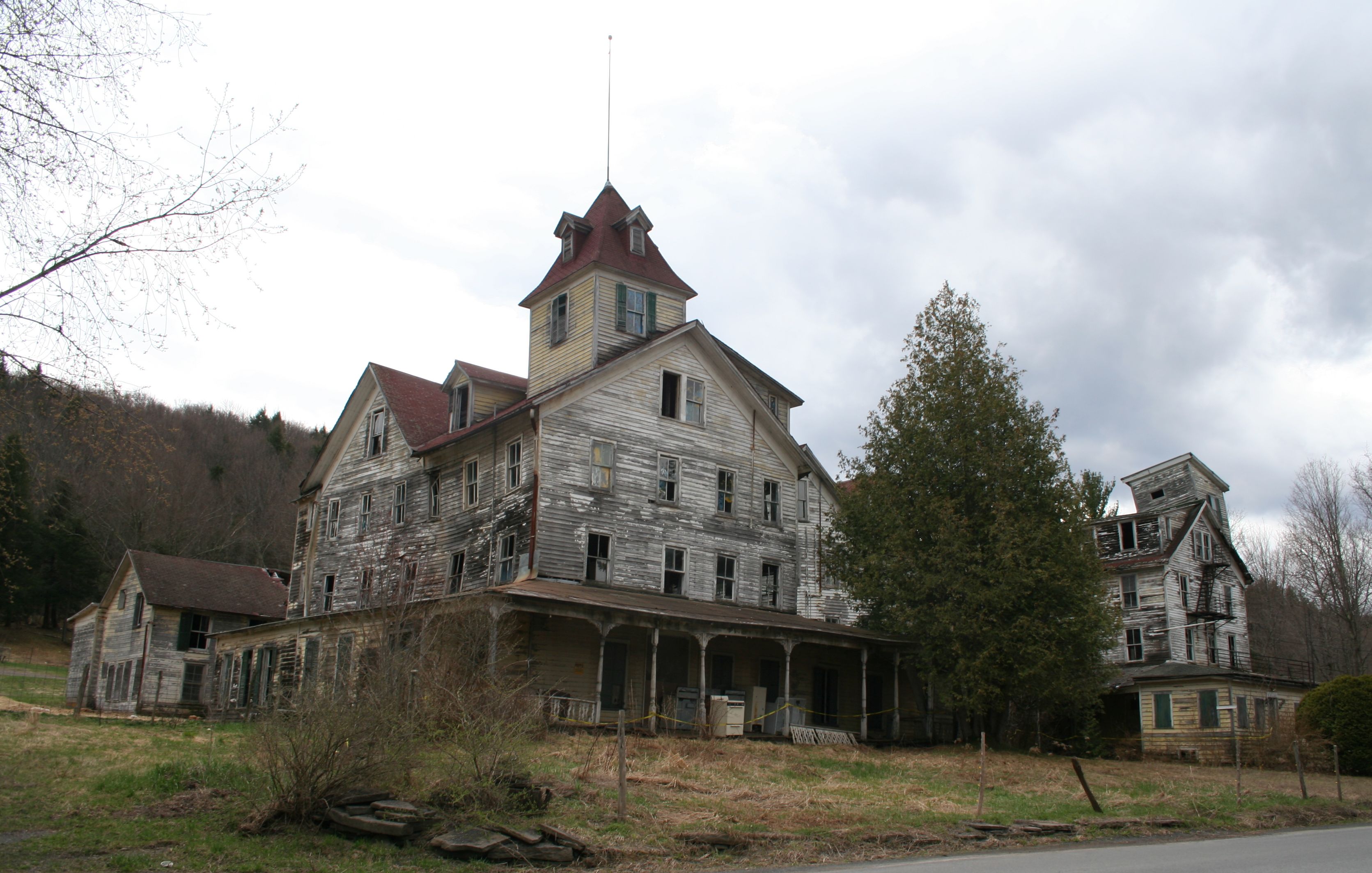
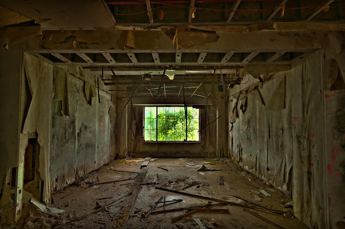
We rejoined our planned route in Tannersville, where we photographed the ramshackle hotel at the top of the page.
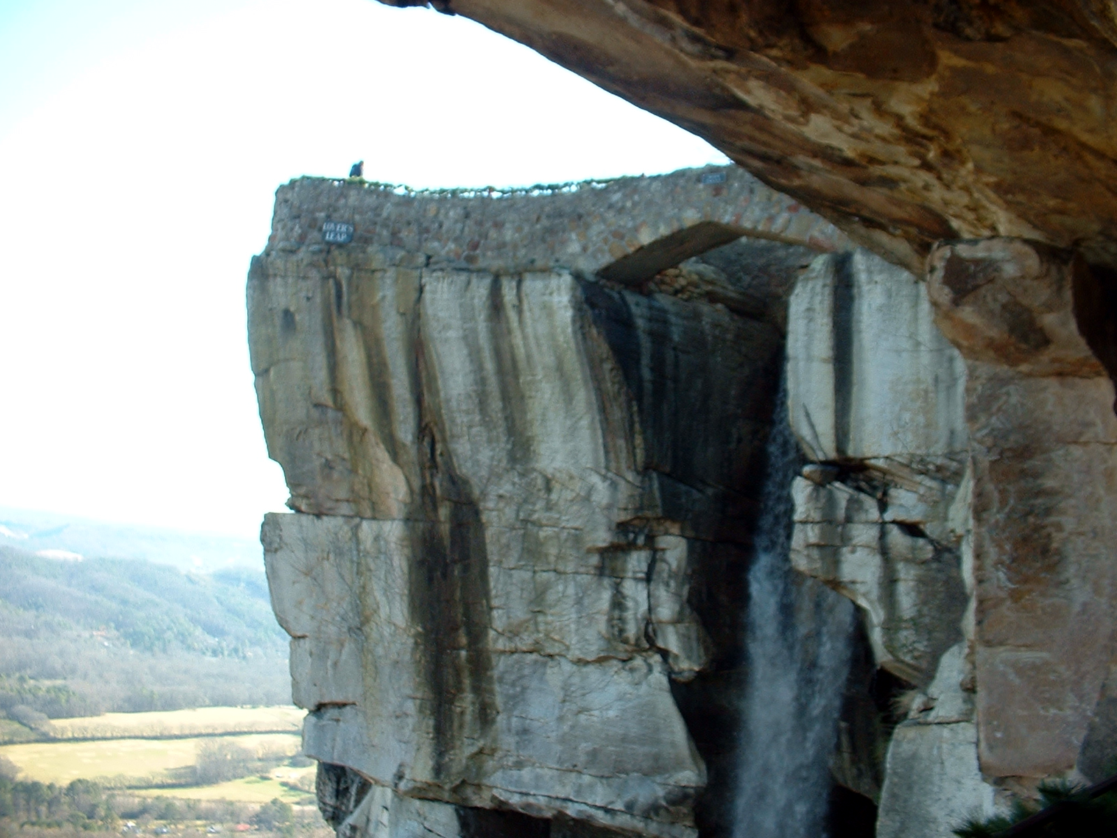
We drove next to Kaaterskill (yes, that Kaaterskill!) Falls. Parking for the falls required a death-defying walk along a busy highway with no shoulders, so we elected to lower the windows and snap away as we drove past (well, I snapped. Heather drove).
As a photographic strategy it was clearly inferior to the one used by Wikipedia:

Our next stop was Point Overlook, from which, our literature said, we could see five states.

Yeah. Right. Like you can see seven states from Rock City.
Even the Rock City sign makers couldn’t figure out no. 7. Count ’em. Six. I rest my case.

We stopped at Pratt’s Rock, where, in a testimony to his sense of self-importance (and to be fair, as a memorial to his son George, who was killed in the Civil War), industrialist and U.S. Representative Zadock Pratt convinced itinerant rock cutters to commemorate his life by carving monuments into a stone outcropping on his property. We didn’t make the half mile hike to the actual site, but I firmly believe the rocks are there.
Personally, I would much prefer a cleft be named after me. Pratt himself was so lucky. It should have been enough.
We passed several ski mountains, including this one, which still had no-doubt man-made snow on its runs.

The Catskills reminded me a lot of the Blue Ridge and Smoky Mountains of East Tennessee, Western North Carolina, and North Georgia. The terrain and vegetation look much the same, and the businesses do, too. Most, naturally, cater to tourists.
I have to give the Catskills the edge on touristry, however. I don’t think the Blue Ridge has yet attracted visitors from other planets.

Check out the lettering!

On the other hand, the Catskills have nothing that looks like this!

We wound up in Woodstock around 6 pm, just in time for supper at our new favorite place, Yum Yum Noodle Bar. Yay, ramen!
The rain that had been holding off all day long came while we were eating, but Woodstock got only a brief sprinkle. The rain had stopped by the time we left the restaurant.
In the course of the day we drove past hundreds of abandoned and decaying hotels, cabins, and camps. From 1920 until about 1970, when the Catskills were referred to as the Borscht Belt, the resorts of the Catskills were heavily utilized, mostly by middle and working class Jewish families from New York. It was sad to see so many formerly bustling places looking so forlorn.
Photographer Walter Arnold has taken many haunting photographs of abandoned Catskill hotels. Here’s an image of the once-popular Grossinger Resort.
We arrived home shortly after dark.
6 Comments
Leave a Reply to Cathryn Platine Cancel reply
About Me
 Dallas Denny is a leader in the trans* rights movement. Her work as a writer, editor, and community builder have played a significant role in the advancement of rights for transsexual and transgendered people in North America and around the world. Engage her to consult, speak at your event, or write for your publication.
Fun reading, and great photos, Dallas. I once mapped an itinerary from Johnson City Texas to Van der Pool with online info and found myself on the most treacherous road i’ve ever been on…curves so hairpin signs said 5 mph…didn’t pass another car…later cowboy in Van der pool said that route hadn’t been used in a hundred years…it was scary, but beautiful.
We both had experiences to treasure, Annette. Yours sounds scarier!
You either passed right by us or were within a couple of miles of the Maetreum of Cybele in Palenville at the bottom of the Kaaterskill clove. The hotel in the picture is the Cold Water in Tannersville which has called to me for over a decade. Next time you are in the area, stop by for a visit and see a surviving Silver Age Catskill inn being restored just as it was in the 1880’s.
I was just reading a news article about your case going before the state board of appeals and realized we had been close to Catskill.
Good luck!
Perhaps some time I could stop by to visit.
The 7th state is New York.
Rock City: TN, KY, VA, NC, SC, GA, AL